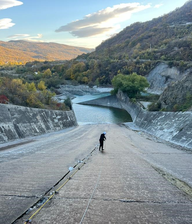
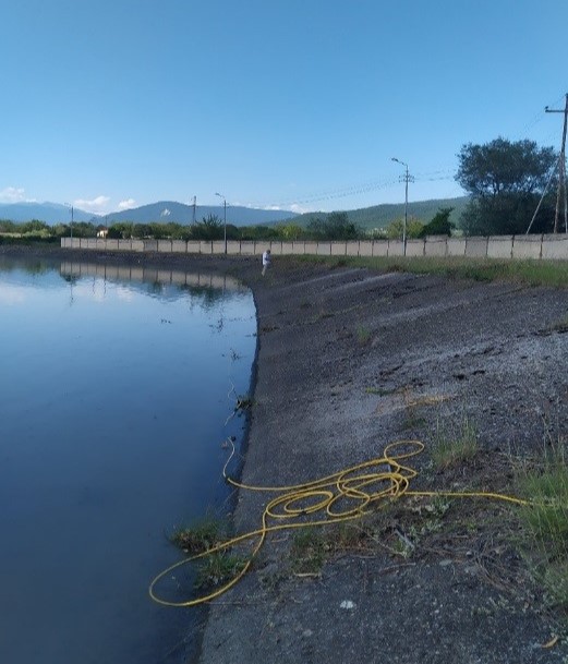
Spill way della centrale di Zhinvali (Georgia) -
Indagini strutturali
GEOELECTRIC METHODOLOGY
Geoelectric techniques are based on the analysis of the response of the subsoil to a flow of electric current.
An electric current is sent through the ground by two electrodes, “current electrodes” and two “potential electrodes” are used to record the
resulting potential difference between them. This permits to measure the electrical resistivity of the subsoil and the I.P. (Induced Polarization).
The main factors controlling the conductivity are the presence of water and clay, the cavities at micro and macro level and the presence of water.
Increasing saturation, increasing salinity of the underground water, increasing porosity of rock (water-filled voids) and increasing clay content
determines a decrease of the measured resistivity. Increasing compaction of soils or rock, meaning less water content, increases resistivity.
Air in voids, porosity fractures or cavities with its very high resistivity, are at the contrary determines an opposite response in comparison with voids,
filled by water.
Resistivity measurements can be interpreted in terms of a lithologic and/or geo-hydrologic model of the subsurface.
Induced Polarization (I.P.) measures the rates at which electrical charges accumulate in the ground due to applied voltages and how they re-equilibrate after voltages are removed. Common sources of the effect are charge polarization on individual grains, charge build-up within clay layers and electrochemical interactions at grain surfaces.
Equipment and settings
We are using the following equipment:- Equipment: “Lippmann Geophysics” High Power control unit, single and multichannel electrodes controlled by a Panasonic Toughbook laptop.
- Software for data acquisition and data processing: GEOTEST 2D/3D.
- Several arrays of 20 “active” electrodes. Our system thanks to the use of “active” electrodes (each electrode has its electronic board) allows us to use our 100 electrodes simultaneously and can handle up to thousands of electrodes if needed.
- Underwater cable with 24 graphite electrodes spacing 2 metres for operations in water with a depth up to 20 m.
- Underwater cable with 24 stainless steel electrodes spacing 4 metres for operations in water with a depth up to 25 m.
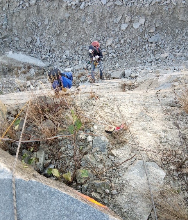
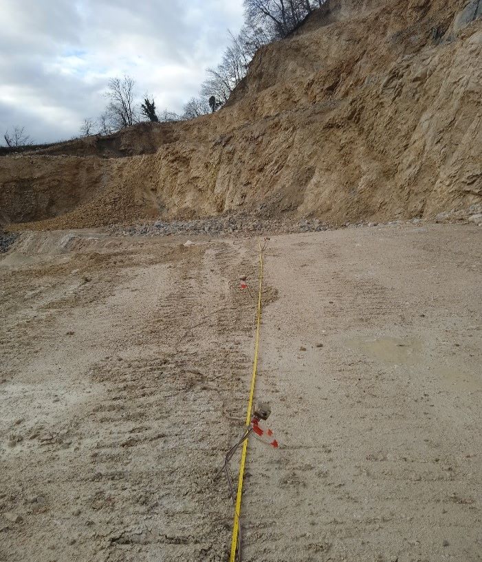
Indagine geoelettrica in parete per la definizione della continuità della massa rocciosa -
Bagnolo Piemonte (CN)
Bagnolo Piemonte (CN)
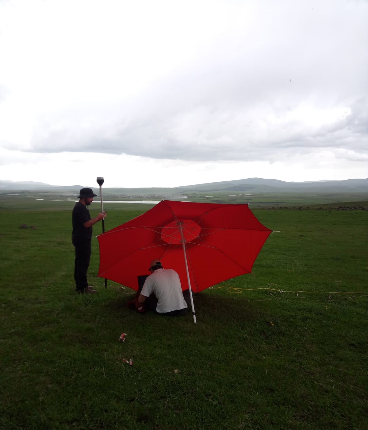
Indagine geoelettrica -
Georgia
Georgia
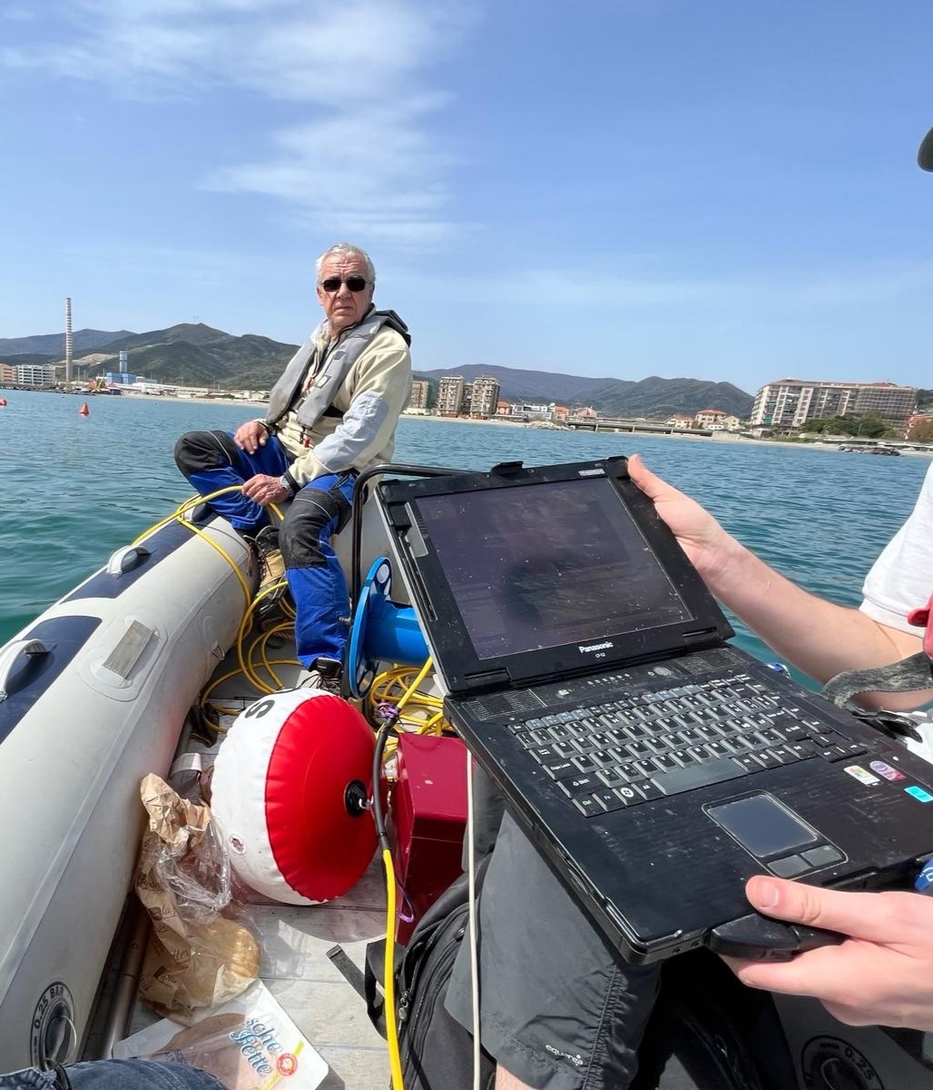
Indagini con metodologia geoelettrica tomografica subacquea per lo studio del fondale all’interno del porto di Vado Ligure (Prov. di Savona)
Profilo geoelettrico subacqueo per lo studio delle strutture arginali -
Diga di Bodorna (Georgia)
Diga di Bodorna (Georgia)
Indagine geoelettrica tomografica per lo studio dell’assetto strutturale delle formazioni geologiche -
Zidani Most (Slovenia)
Zidani Most (Slovenia)
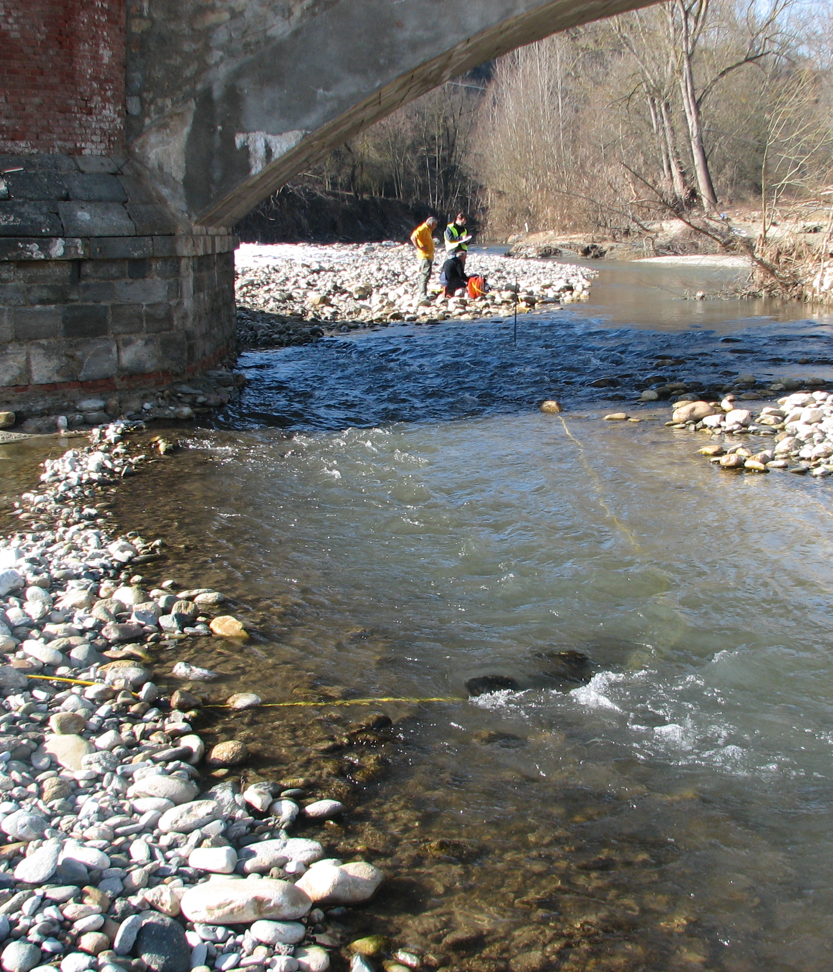
Studio delle fondazioni di un ponte -
provincia di Cuneo
provincia di Cuneo
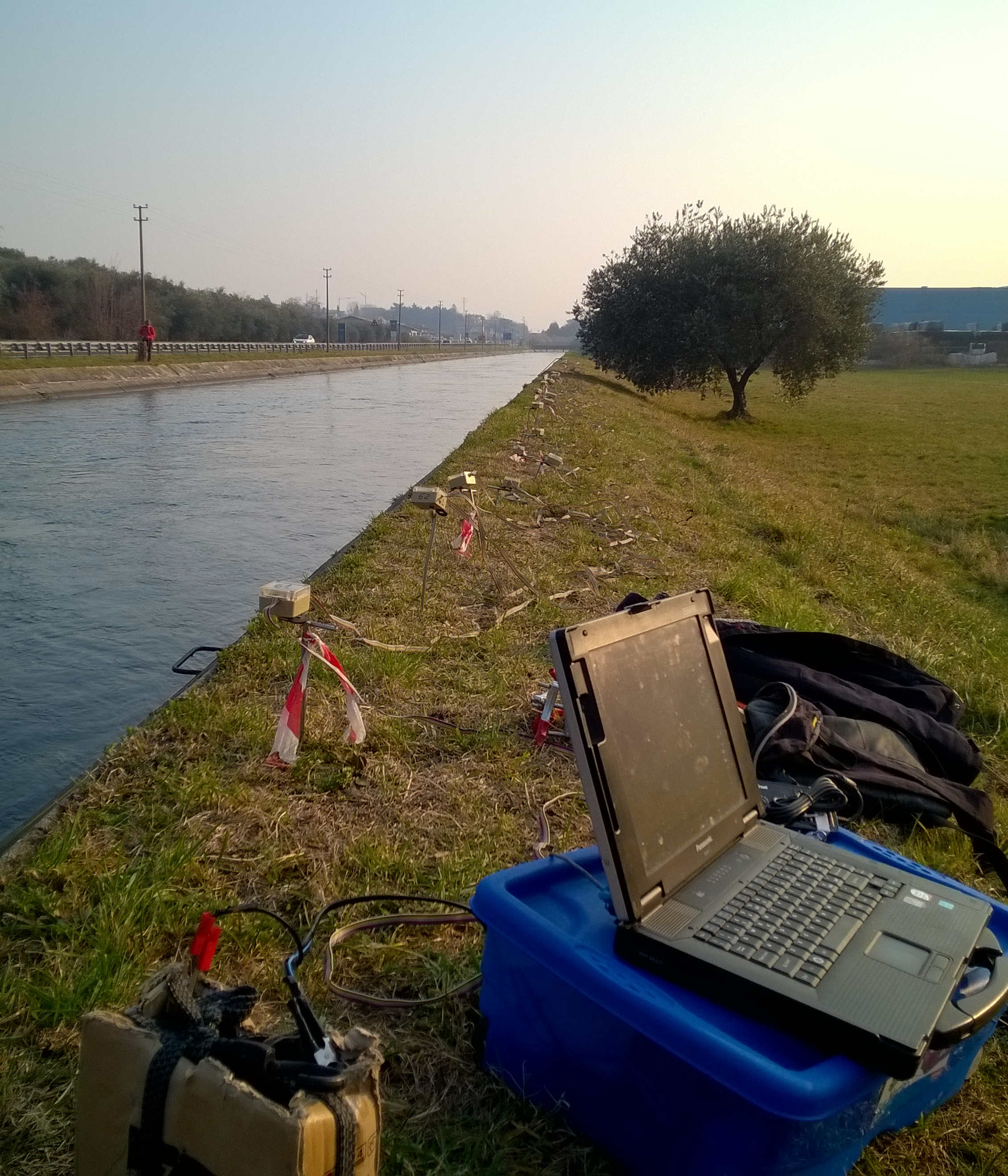
Studio degli argini del canale derivatore -
Pove del Grappa (VI)
Pove del Grappa (VI)
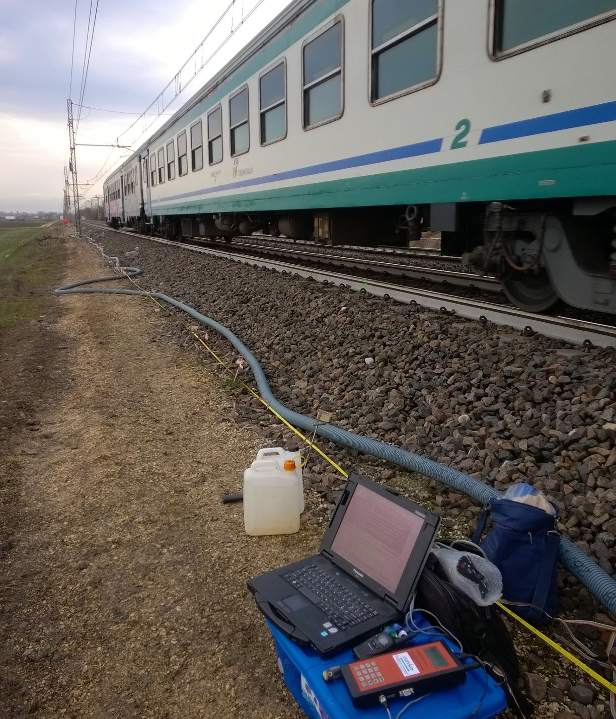
Verifica del rilevato ferroviario -
Rovigo
Rovigo